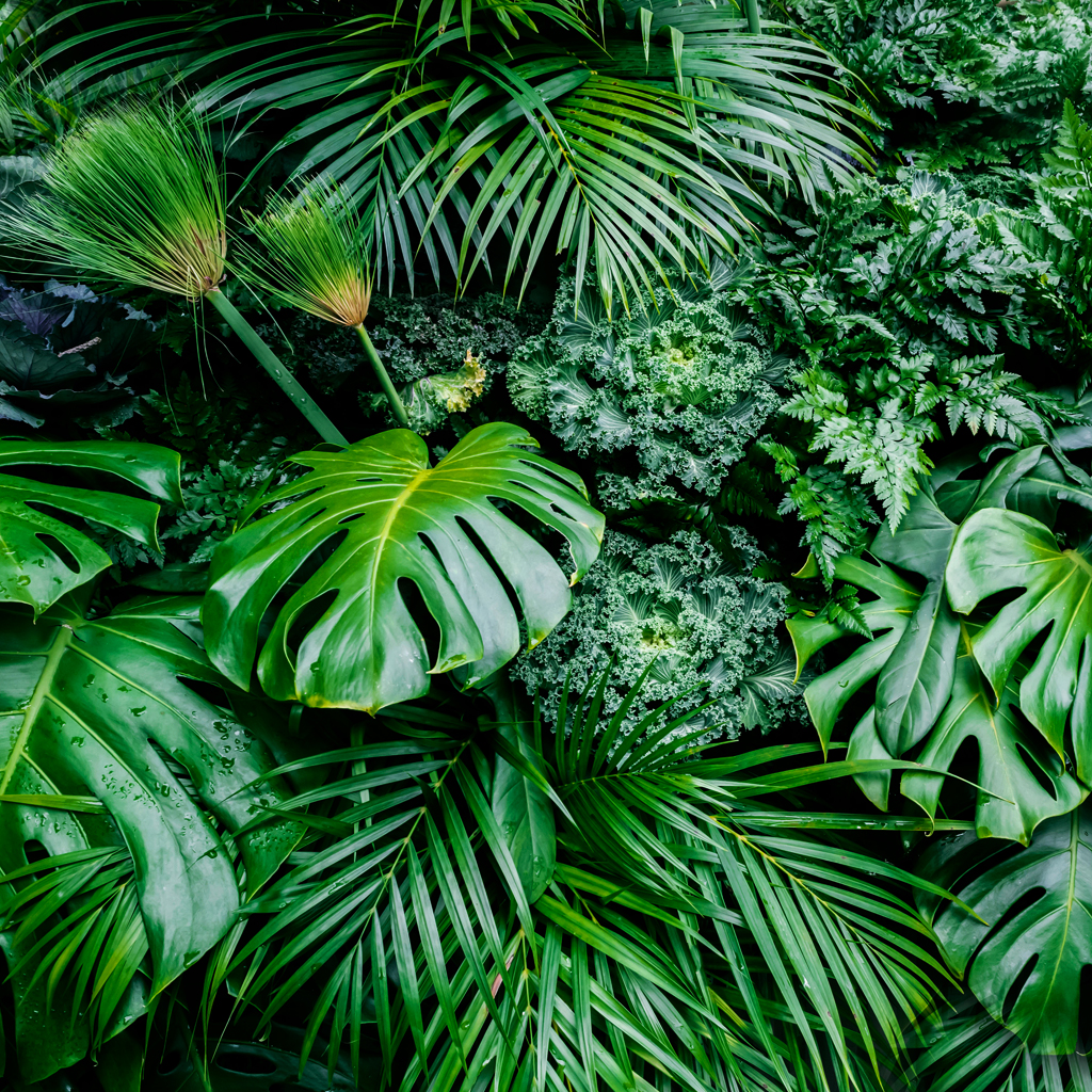
Vegetation

Satellites observe global-scale patterns of vegetation that scientists use to study changes in plant growth as a result of climate and environmental changes as well as human activity. Photosynthesis plays a big role in removing carbon dioxide from the atmosphere and storing it in wood and soils, so mapping vegetation is a key part of studying the carbon cycle. Farmers and resource managers also use satellite-based vegetation maps to help them monitor the health of forests and croplands.